See current reports
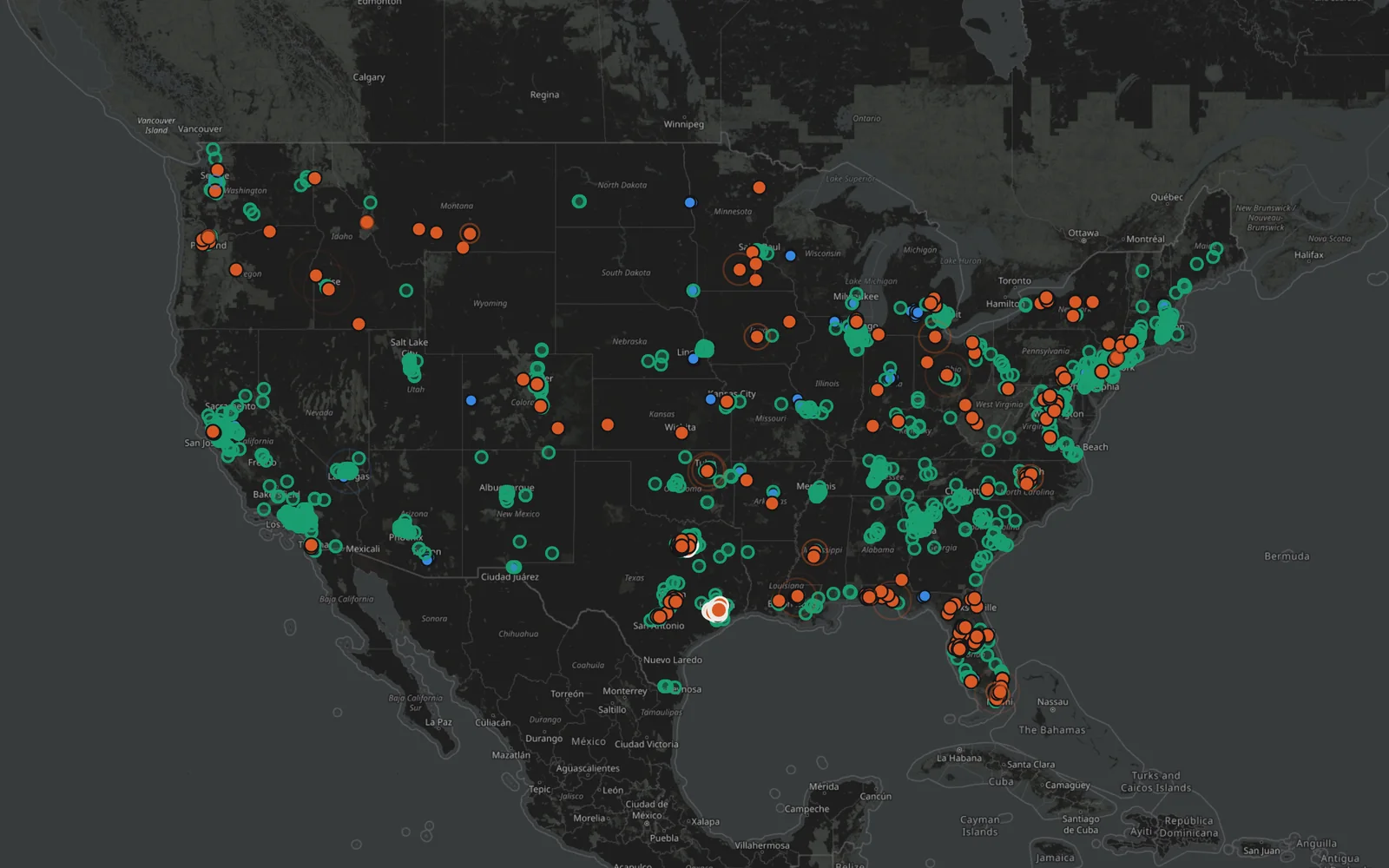
Browse active incidents, recent reports, and driver reports, with filters for injuries, blocked traffic, pedestrians and cyclists, and large trucks.
10Roads & live data

Live crash reports and road hazards on one map.
Public reports. One map.
01The project
Hazardly gathers live public crash reports and road hazards from agency feeds onto a single map of the United States. Reports are grouped by type, from active incidents to driver reports, and can be filtered by state, road, or city. Coverage is partial and shown openly, so an empty map is not an all-clear.
Explore current reports, search a road or city, or check coverage and source health on the official Hazardly website.
Base map © OpenStreetMap contributors.
Explore hazardly.app02A closer look
Browse active incidents, recent reports, and driver reports, with filters for injuries, blocked traffic, pedestrians and cyclists, and large trucks.
Look up a road or city, narrow the map to a state, or set a watch area to follow.
See which feeds are responding and how much of the country is covered. Positions are never guessed from city centers.
Continue exploring