Begin with a place
Explore county and city records, with state and national comparisons to put the history in context.
07Weather & history

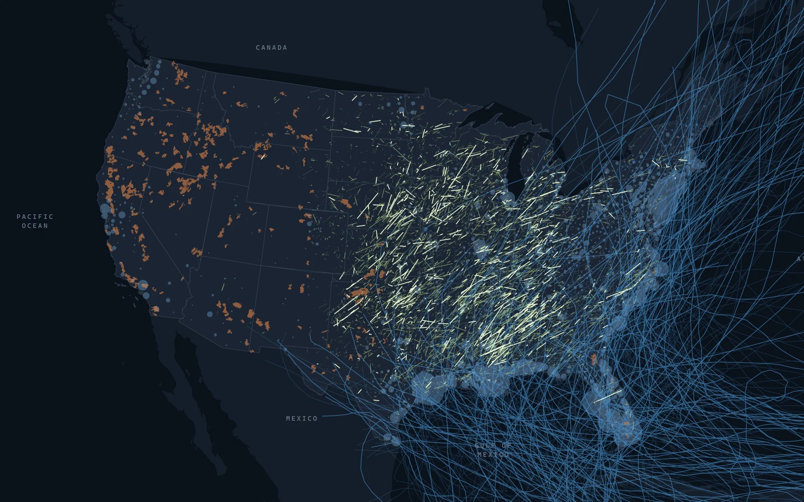
The recorded history of weather across America.
Historical records. Public data.
01The project
StormWorn joins public federal datasets into a place-based history of weather and natural hazards. Tornadoes, hurricane tracks, wildfire perimeters, flood insurance claims, and weather extremes can be explored by county, city, state, and year. It presents historical records, not forecasts or risk scores.
Explore a place, compare the historical record, or read about the datasets and methodology on the official StormWorn website.
Explore stormworn.com02A closer look
Explore county and city records, with state and national comparisons to put the history in context.
Browse tornadoes, hurricanes, wildfires, floods, and weather extremes across places and time.
Read the methodology and explore the public federal datasets behind the records, including NOAA and FEMA.
Continue exploring